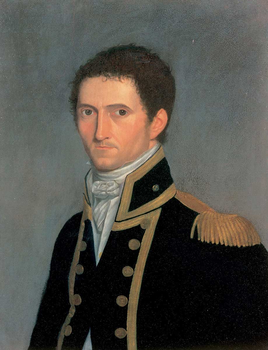

‘Terra Australis or Australia, the Parts Explored Between 1798 and 1803’, by Matthew Flinders.
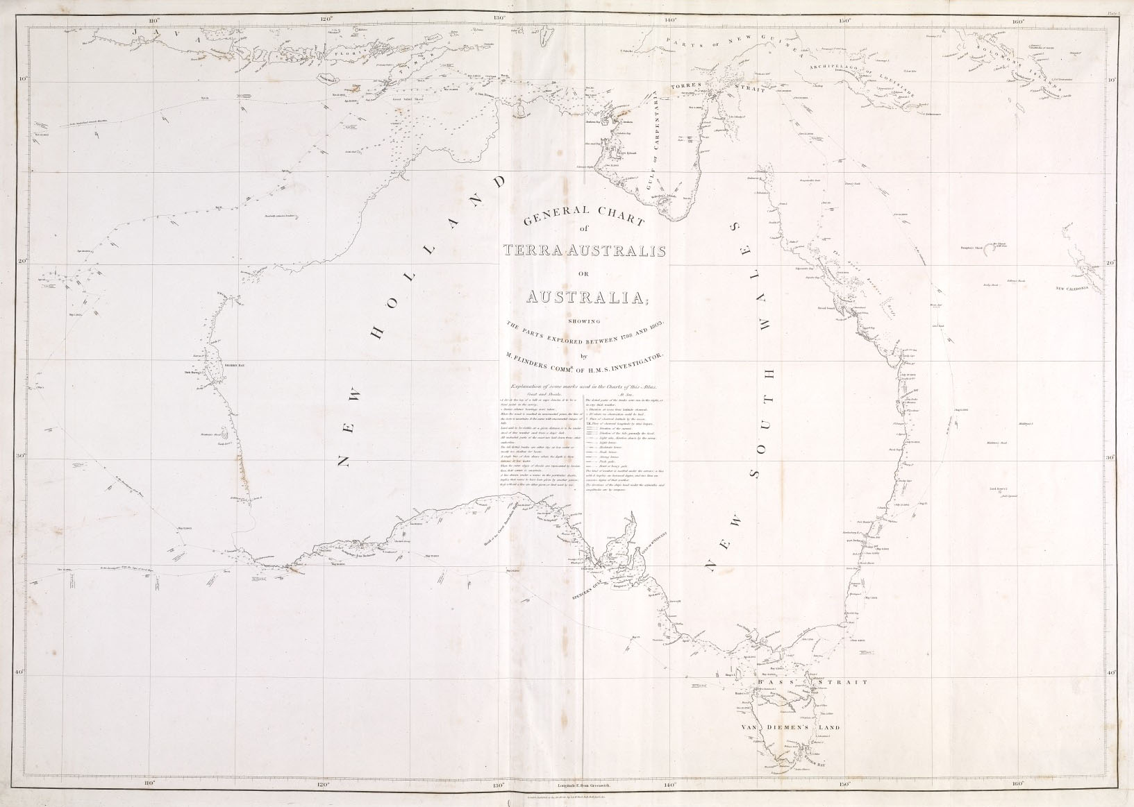
An atlas containing 16 engraved maps of ‘TERRA AUSTRALIS OR AUSTRALIA / THE PARTS EXPLORED BETWEEN 1798 AND 1803 BY M. FLINDERS COMM'R OF H.M.S. INVESTIGATOR’. The plates and maps have the imprint of the publishers ‘G. & W. Nicol’ and are dated between 1st January and 1st June, 1814. These charts, which were drafted by Flinders, were so accurate that they were used for navigation for over a century.
Source
National Museum of Australia

Details
+ --
Themes: