
Map of Tasmania by James Sprent, 1859
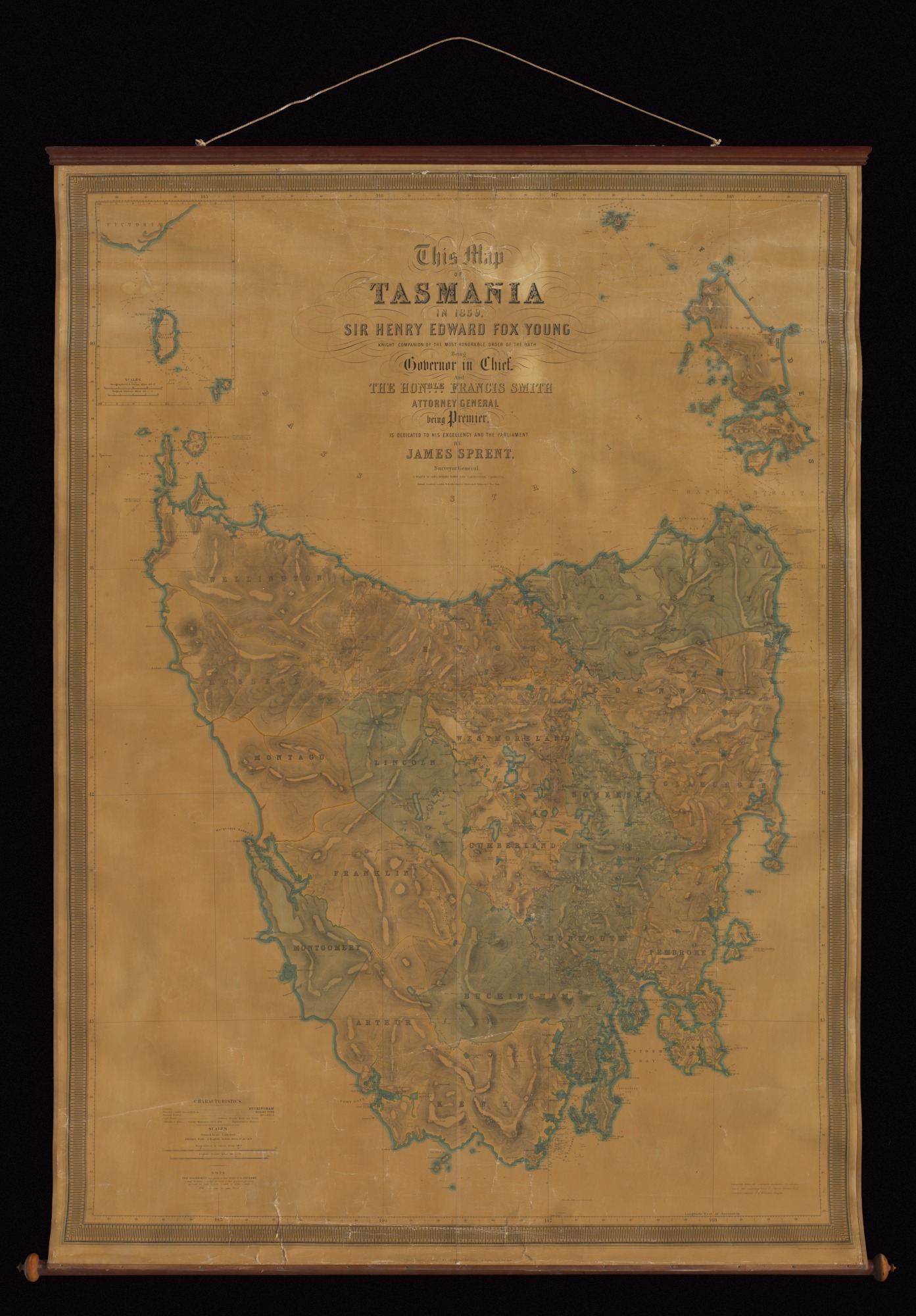
During the first 50 years of settlement in Van Diemen's Land, the production of maps was haphazard. Increasing disputes over property boundaries were causing friction between landholders and so the government recognised the need for an accurate map. In 1833, Assistant Surveyor James Sprent embarked on an ambitious task to produce a trigonometrical survey of the whole island. The survey took over 20 years to be completed and the results were used to produce the first precise map of the colony.
Source
National Museum of Australia

Details
+ --
Type: