
Map of the territories of New Guinea and Papua
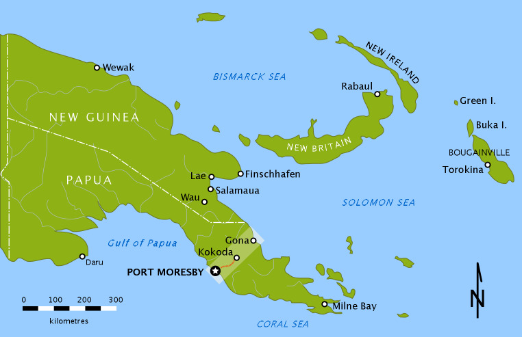
In 1906 the young nation of Australia became a colonial administrator when it assumed responsibility for the external territory of Papua — the southern half of what is now Papua New Guinea.
Following the First World War, the United Nations mandated that northern territory of New Guinea (previously controlled by Germany) also come under Australian rule. Both territories, however, were administered separately and retained their own identities.
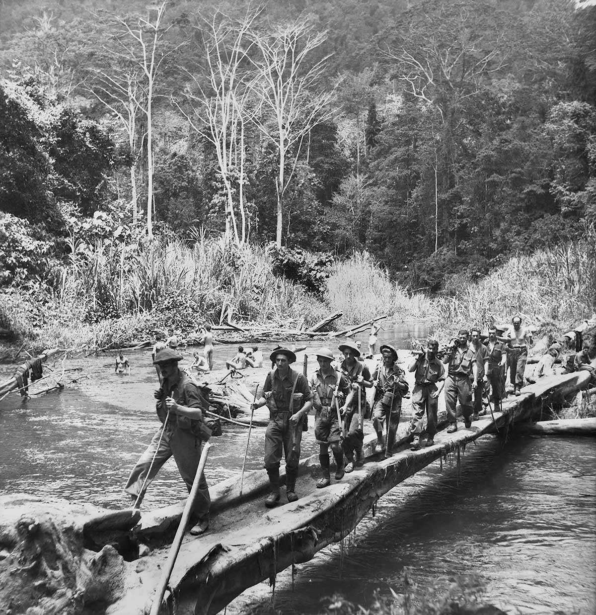
The map shows the two territories, and highlights the area of Papua where the Kokoda Trail battle took place during the Second World War.
Source
SpoolWhippets, Wikimedia Commons, Public Domain