
Population of Australia in 1880 map
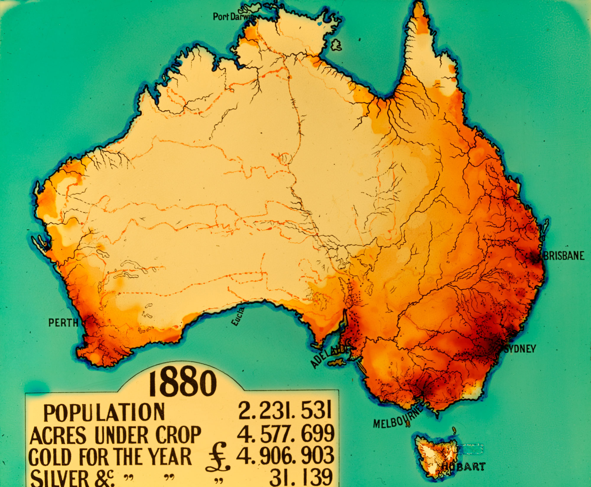
This map was created between 1910 and 1950. The red and orange shading indicates the most populous regions of the continent in 1880. The map also includes some statistics relating to population, agriculture and mining in 1880.
Source
State Library of Victoria

Details
+ --
Themes:
-
Type: