
Learning module:
How did Cook’s Endeavour voyage change Australia forever?
Investigation 6: The story
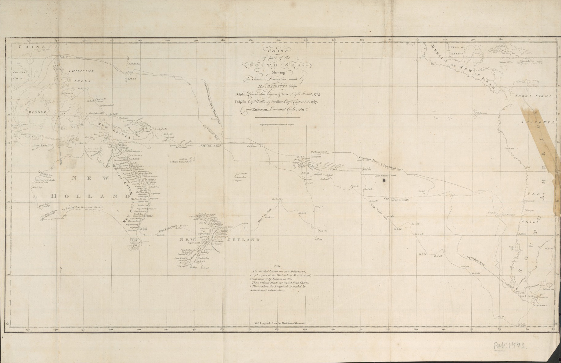
6.2 Where did Cook and the Endeavour go?
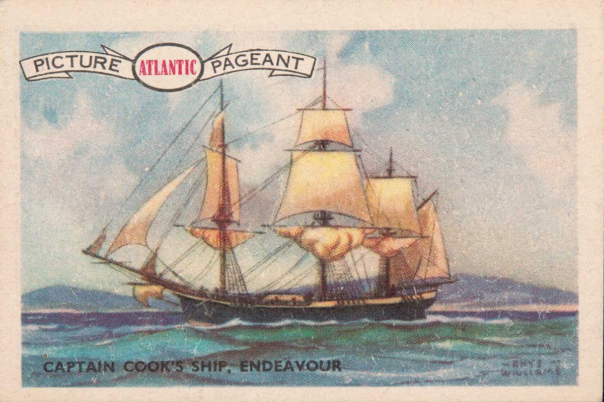
National Library of Australia, obj-230731491
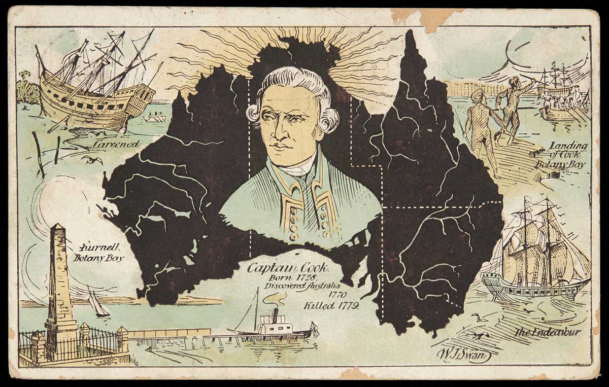
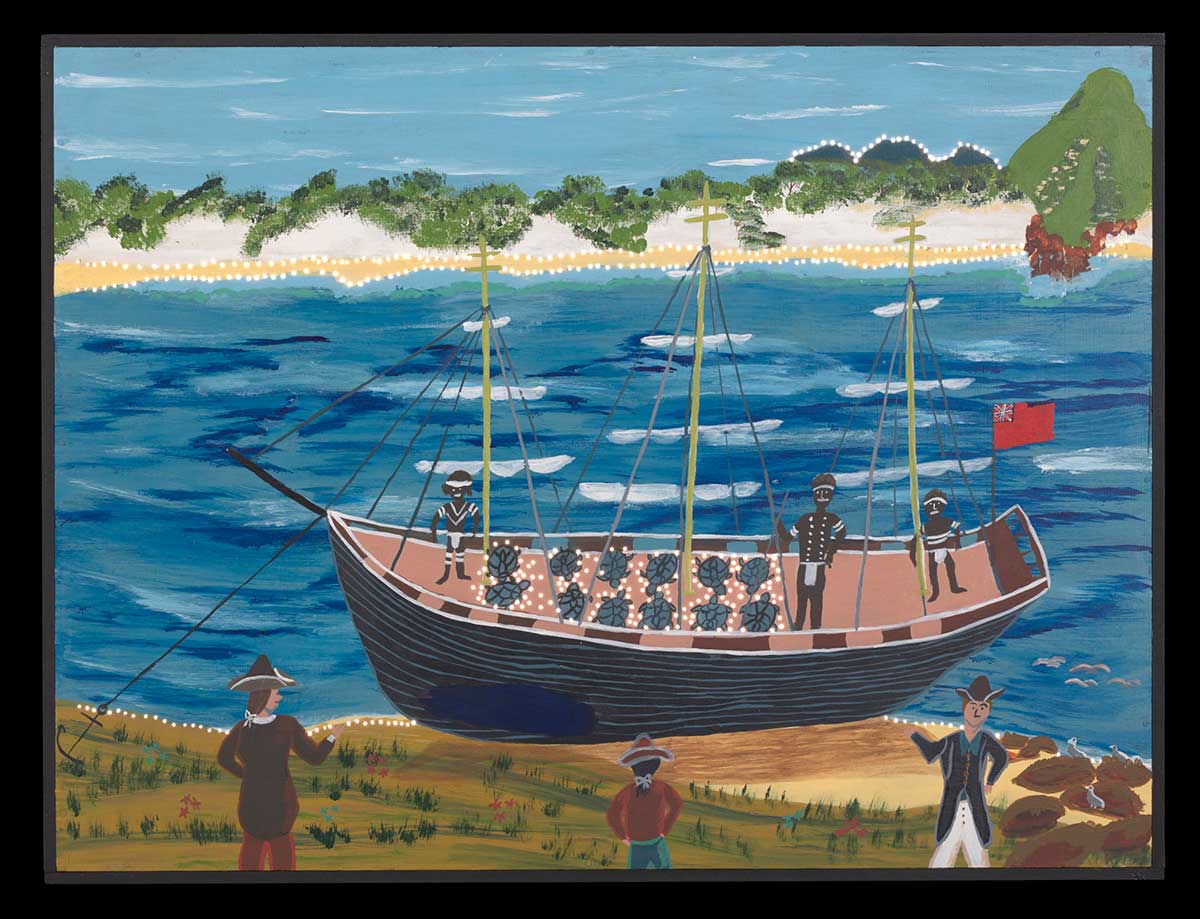
After watching the transit of Venus at Tahiti on 3 June 1769, Cook and his Endeavour crew sailed in search of the ‘Great South Land’, but could not find it. He then sailed to New Zealand and spent six months mapping its coast. Cook then sailed to the east coast of Australia (then known as New Holland), and began to map and explore one of longest coast lines in the world. At that time no one knew how far the east coast of Australia stretched. Cook was eager to find out and to add to his list of important discoveries.
1. Do some research to find out which part of the east coast Cook first saw. Hint: He named this place after one of his crew.
2. Now work out how far Cook sailed when he made his journey up the east coast of Australia. What could you use to do this?
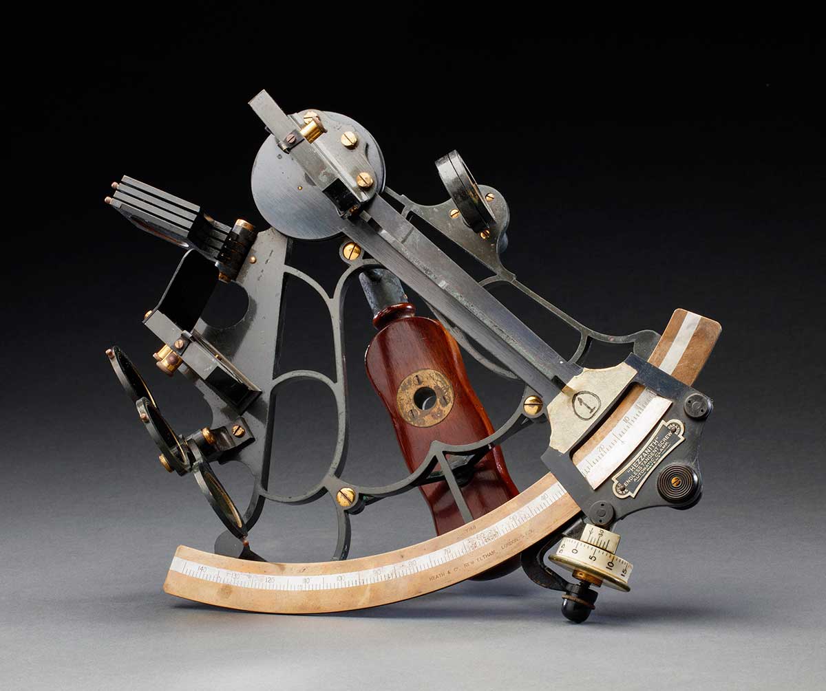
3. Cook took a lot of time and care when making his maps, for this voyage and for later voyages. To do this he used two instruments, a sextant and a chronometer.
Look at the images of a sextant and a chronometer below. Use your own words to explain their purpose underneath.
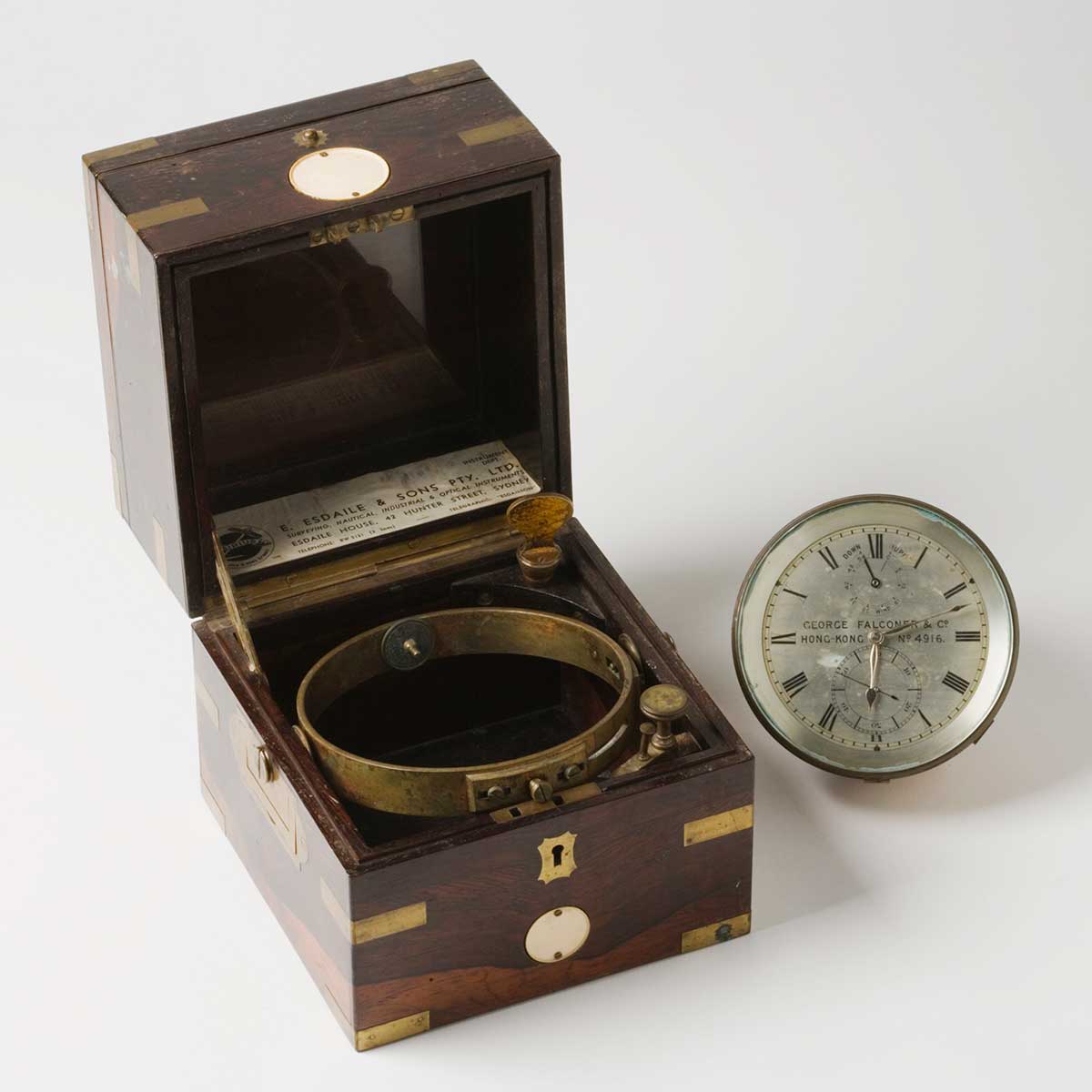
| What was a sextant used for? | What was a chronometer used for? |
|---|---|
5. Your group now has to present part 2 of the ‘Cook claims Australia’ story to the rest of the class. Choose what you think are the most important things you have found out and then work out a creative way of presenting that information.