
Learning module:
Water in Australia Defining Moments
Investigation 1: Water in Australia
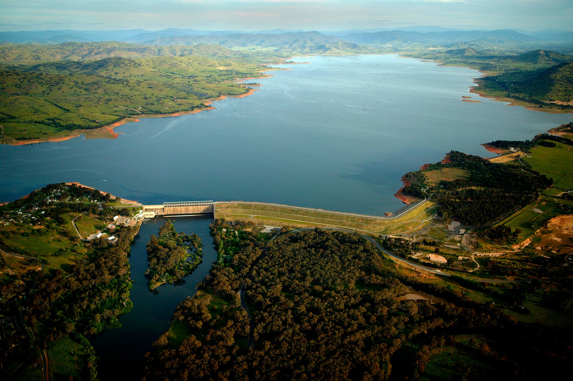

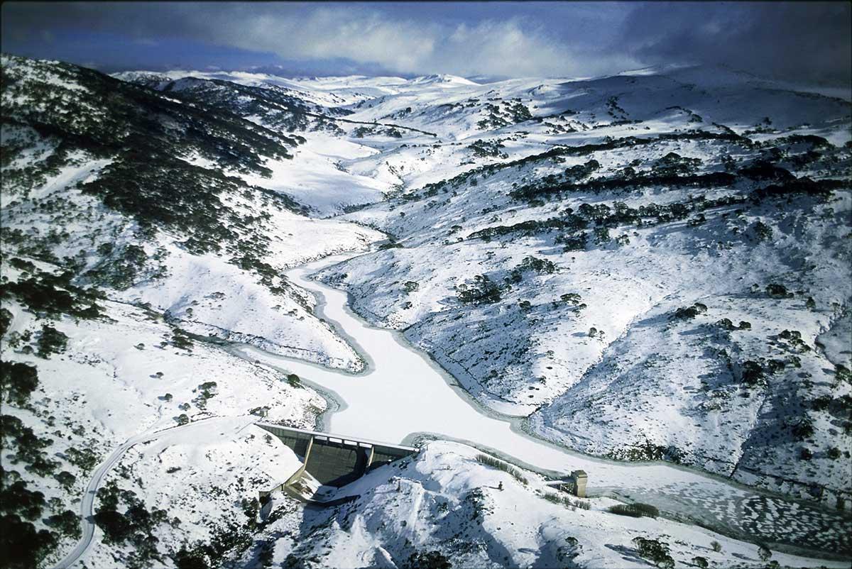
1.5 Watering Australia’s food bowl — Murray–Darling Basin
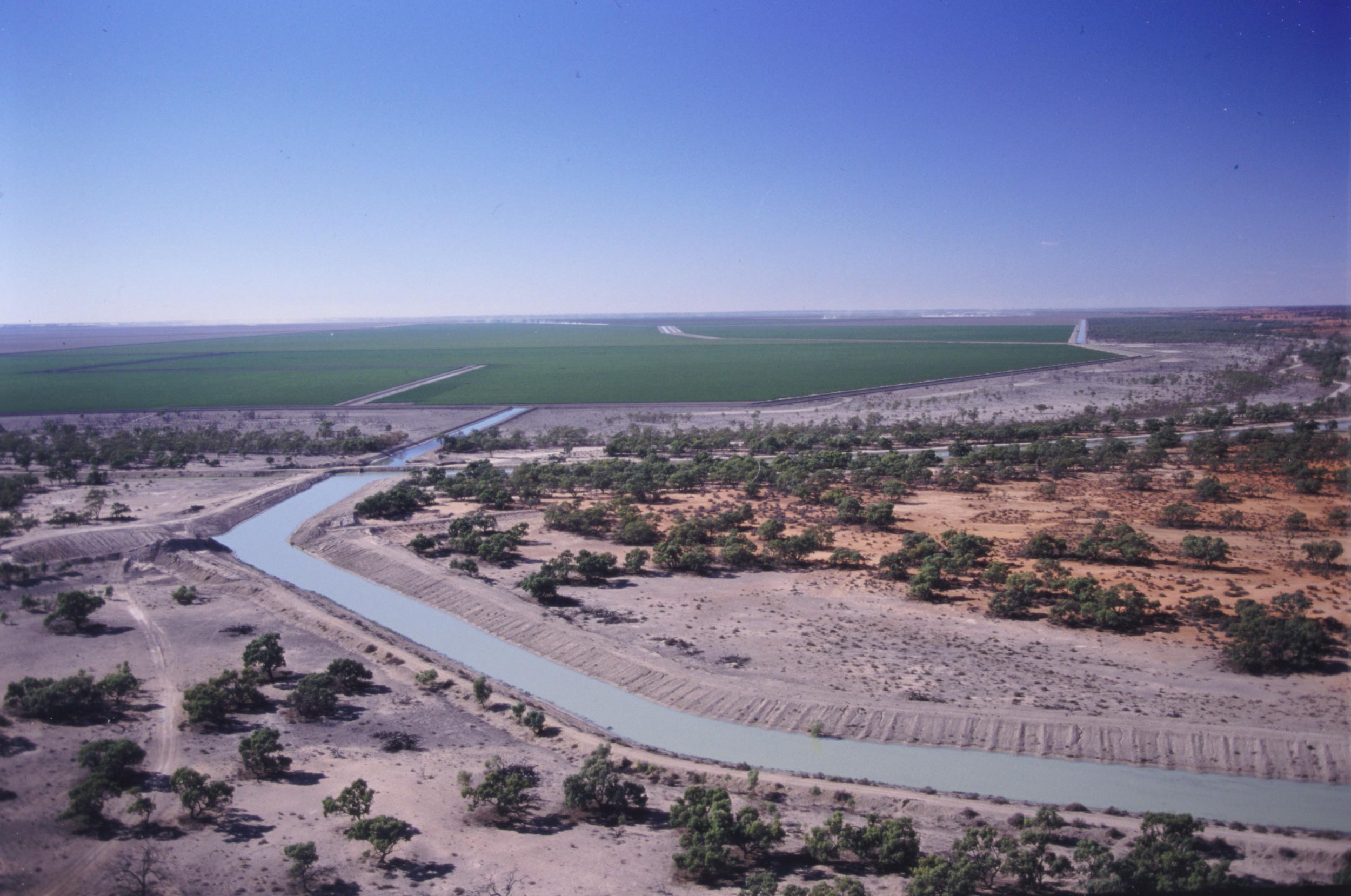
Photo: Robin Smith. National Library of Australia obj-1643156435
What is the Murray–Darling Basin?
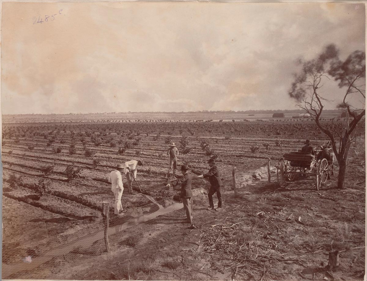
The Murray–Darling Basin is the area of south-east Australia that collects and channels water into the two main rivers — the Murray River and the Darling River — with the river water eventually flowing into the sea. It includes the largest area of irrigated agriculture in Australia, as well as much pastoral and non-irrigated agriculture.
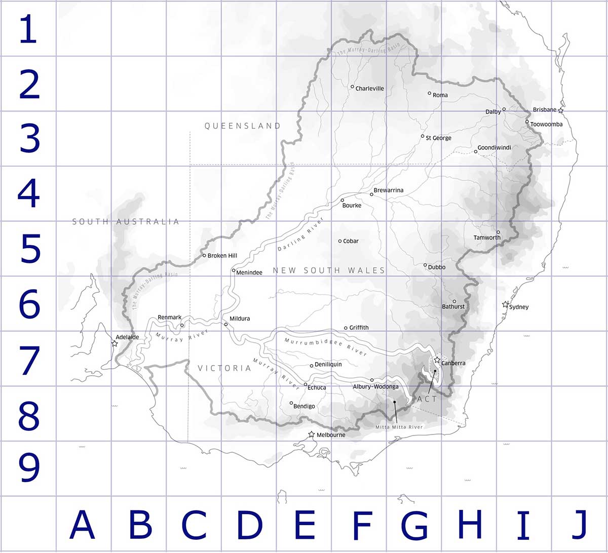
Murray-Darling Basin Authority. This map has been altered to include a grid reference.
Here are some statements about the Murray–Darling Basin. Read each and use the map above to answer the following questions.
11. Australia is known for growing sheep and wheat, particularly in a large region known as the ‘sheep–wheat belt’. To find the sheep–wheat belt:
- Place your left index finger where the River Murray crosses the South Australian border.
- Place your thumb where the border of the Murray–Darling Basin meets the Victorian and South Australian border.
- Move both fingers eastward. When your thumb meets Albury, curve northward and trace all the way up to the northern edge of the Basin.
- This enormous J shape is the sheep–wheat belt. Sheep and wheat do not need irrigation to grow. Food for animals, such as hay, is also grown in this region.
Explain how you could mark this area on the map. What colour, symbol or pattern would you choose?
12. About 40 km north-west of Echuca is a natural reserve straddling the River Murray. On the New South Wales side is Koondrook Perricoota, an internationally significant forest of river red gums and woodland. How could you mark this on the map with an appropriate symbol?
13. What does this mapping activity tell you about the Murray–Darling River and:
- settlements and communities
- economic activity
- Indigenous heritage
- environmental health
- sustainability?
Adapted from Murray–Darling Basin Commission Education, My Murray–Darling Basin sticker mapping activity, https://www.mdba.gov.au/publications/products-posters/my-murray-darling-basin-sticker-mapping-activity, viewed 11 July 2020
Understanding the 2012 Murray–Darling Basin Plan
The 2012 Murray–Darling Basin Plan was created to regulate the use of water in a way that tries to satisfy all users while maintaining a healthy economic, social and environmental system.
Read the Defining Moment in Australian history 2012 ‘We need radical and permanent change’ — Murray–Darling Basin Plan introduced and answer the questions below.
17. Why is the effective management of the Murray–Darling Basin water so important to each of these groups?
- River town communities
- Indigenous people
- Farmers
- Environmental groups
- Capital city dwellers
18. Why is the allocation of water and control of the Murray-Darling Basin so difficult? Discuss the impact of these factors:
- Drought
- Inconsistent rainfall
- Competing economic interests
- Natural environmental cycles
- Competing social interests
- Difficulties with measuring water use
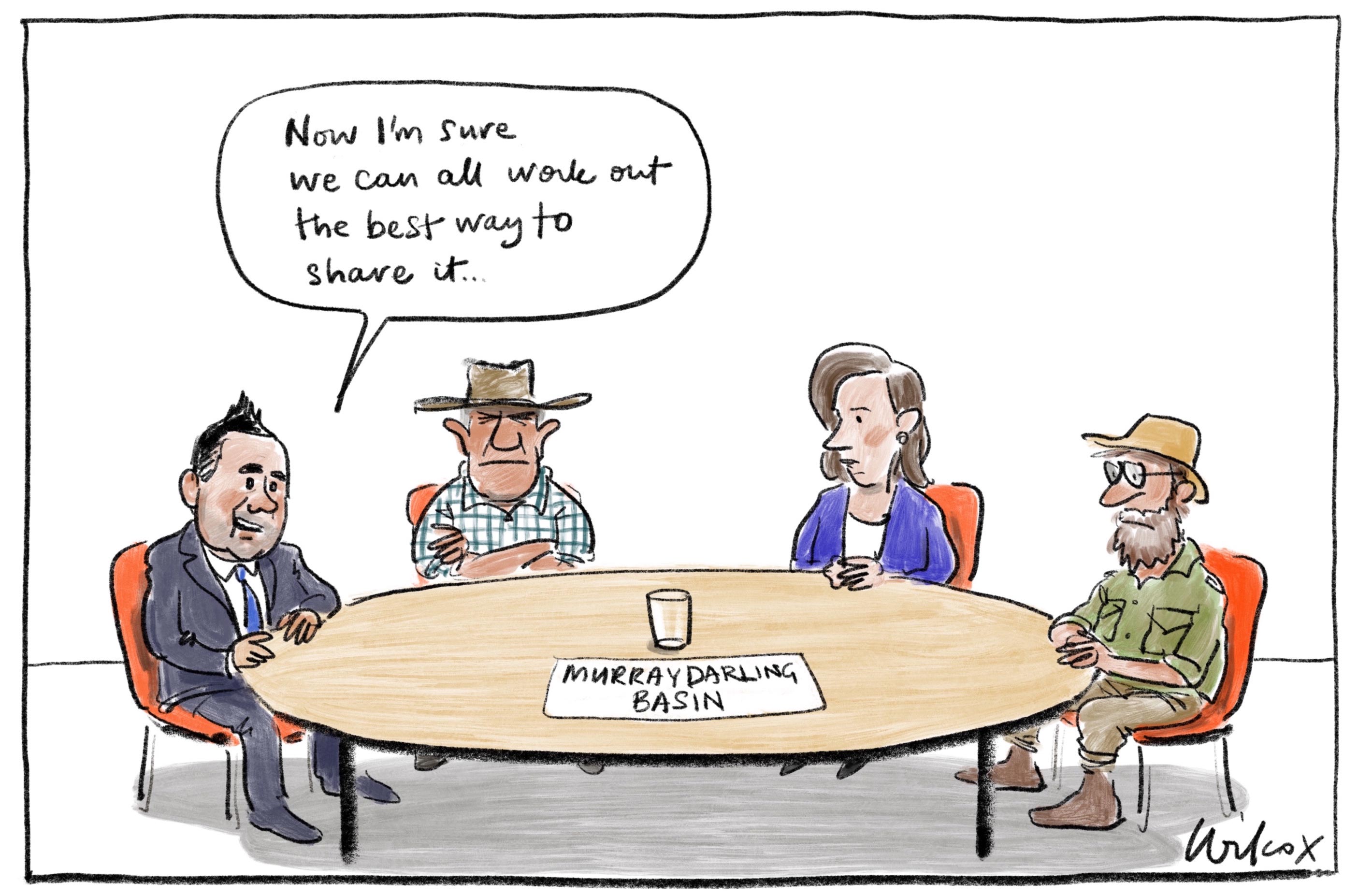
Cathy Wilcox
19. Look at this 2019 cartoon about the Murray–Darling Basin Plan.
a) Describe who is in the cartoon.
b) What is each person doing?
c) Using the visual clues, who does each character represent? (Help)
d) What is the significance of the glass?
e) What are the messages of the cartoon? (You should be able to find several.)
f) What is the attitude of the cartoonist to the issue? How can you tell?
g) What is the intended effect of this cartoon on the audience of the Age newspaper?
Conclusion
20. Why is the Murray–Darling Basin so important, both now and into the future?
21. Do you think it has been well managed so far, and what do you think is needed to help the situation improve?